River surveys
River surveys
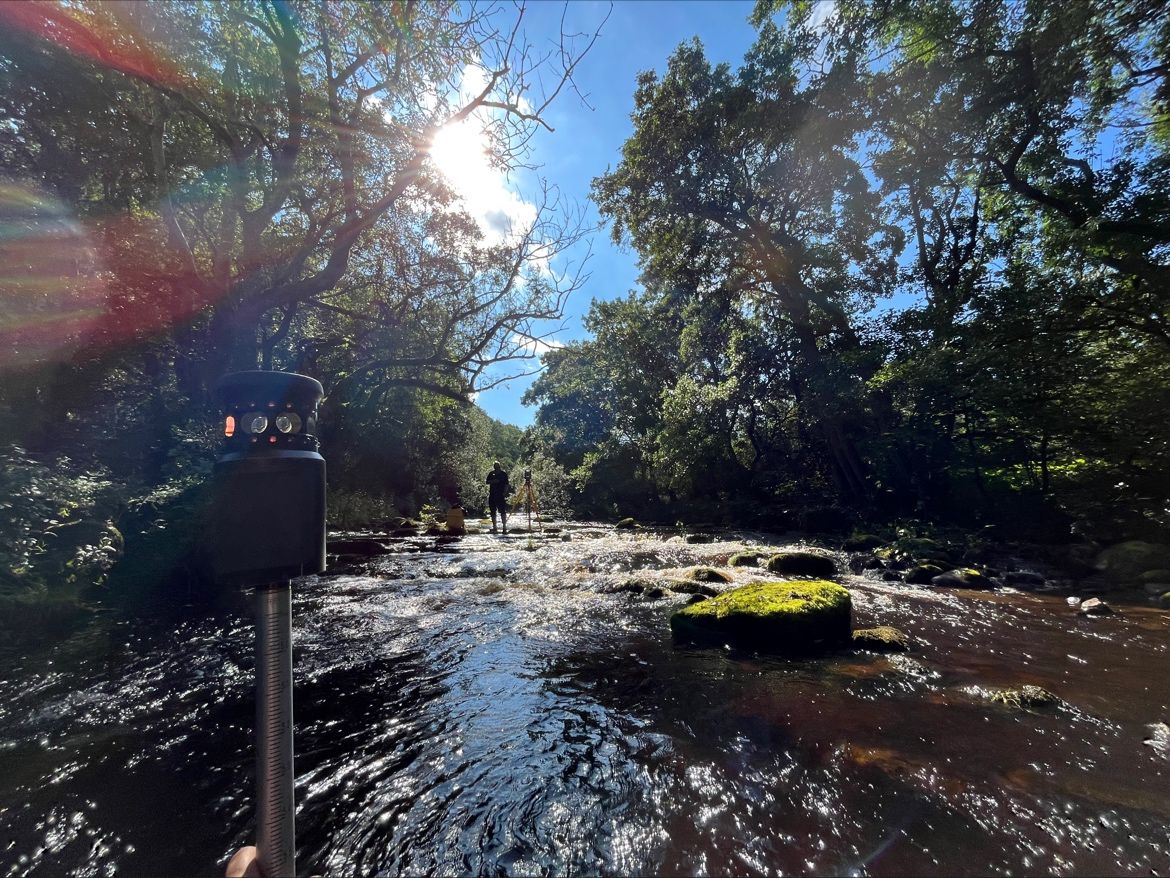
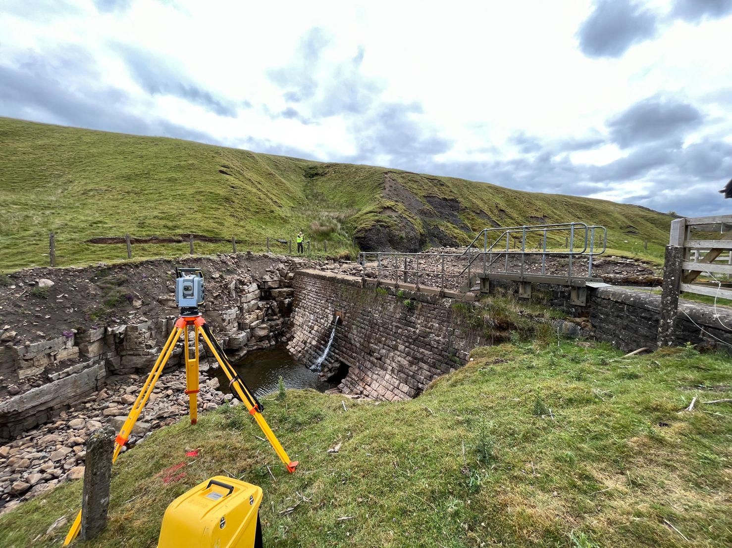
amrGeomatics provide river surveys in a number of different formats, from “cross sections” to detailed topographical surveys, for varying purposes and for a variety of clients.
River surveys are required for many different purposes; flood risk assessment, river cross sections, weir design, fish pass design, erosion control and much more. We are able to produce surveys in a number of different formats to meet our clients’ requirements.
Surveys are carried out under RICS regulation and all surveys are carried in accordance to the ‘RICS Specification for Measured Surveys of Land, Buildings and Utility Services at Scales of 1:500 and Larger, 3rd Edition’. The information can be provided as a topographical survey, a 3D contours terrain model, cross sections or data files for flood modelling software.
River Surveys are supplied as 2D or 3D CAD drawings, ISIS format data files, PDF or paper prints.

Some examples of River Surveys
-
 View detail ...
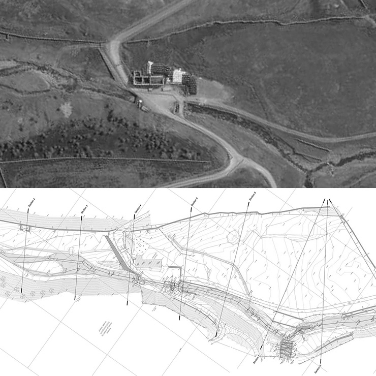
Shotley Grove Weir, Northumberland
-
 View detail ...
Nenthall River Cross Sections, Cumbria
-
 View detail ...
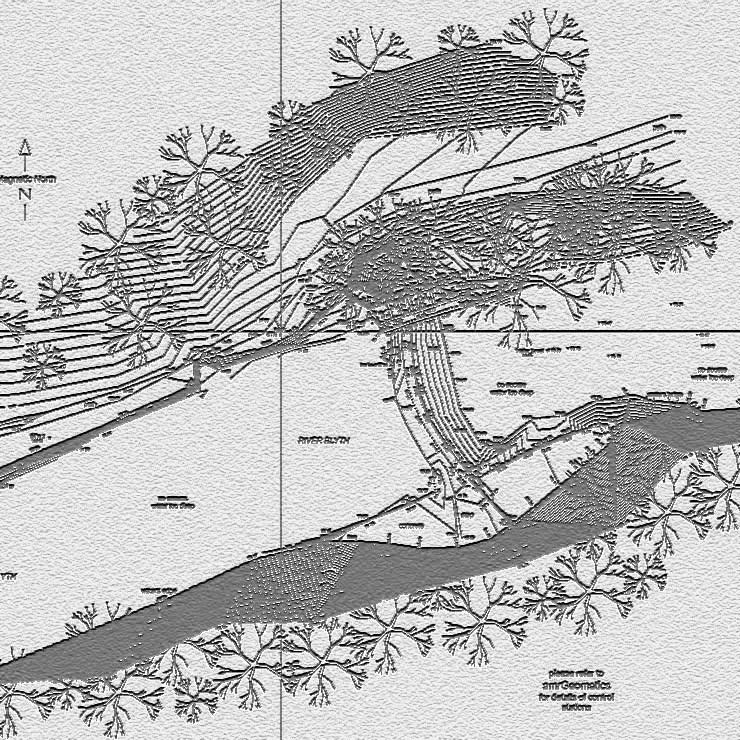
Blyth Weir, Northumberland
-
 View detail ...
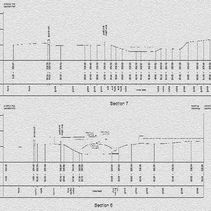
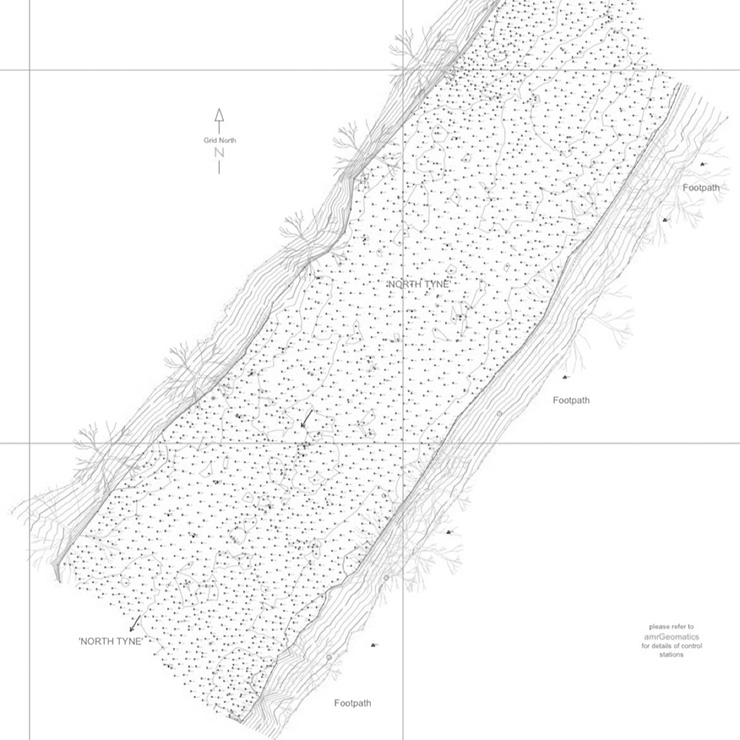
River Survey, with Sections
-
 View detail ...
River Survey with 0.5m interval bed levels