-
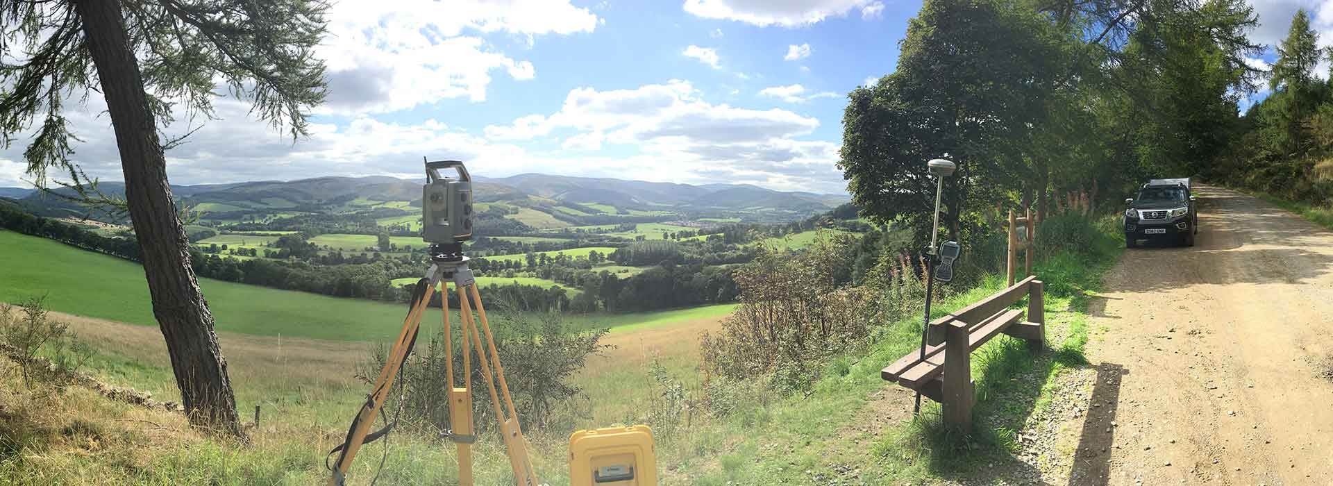 Land SurveysTopographical Surveys, Boundary Surveys,
Volumetric Surveys, River Surveys,
Ground Monitoring and Setting Out -
 Building SurveysMeasured Building Surveys,
3D Revit Building Information Modelling,
Structural Monitoring and Setting Out
Our services
Chartered Land Surveyors
amrGeomatics Limited was established to provide the highest quality professional service to clients including: Land surveying, Boundary definitions, 2D Architectural plans and elevations, 3D Revit models and Volumetric Surveys
More about our servicesRecent projects
Examples of our services and standards


We offer the highest academic and technical standards to meet our clients’ specifications. Our clients include architects, land owners, developers, landscape designers, Rivers’ Trusts, private and commercial property owners and the Environment Agency.
These guys are really good. They wasted no time in surveying my mew farmstead. Their 3D model of the landscape proved invaluable for the planning application!
I would like to take this opportunity to thank you for a thoroughly professional job you did in locating the boundary on our farm property. Although it would have been a small job, I believe it's the small tasks that sort the good businesses from the excellent ones ... like yours!
amrGeomatics have always provided an excellent service at a competitive price. The drawings and models they produce are of an exceptional standard. I would highly recommend amrGeomatics.
I have used amrGeomatics for a number of topographical surveys, they have always provided a reliable and professional service at a competitive rate. They are a pleasure to do business with.
We have worked with amrGeomatics for many years. They provide excellent service, understand our requirements and provide the surveying detail we require.
Accreditations
We're committed to the attainment of world-class standards