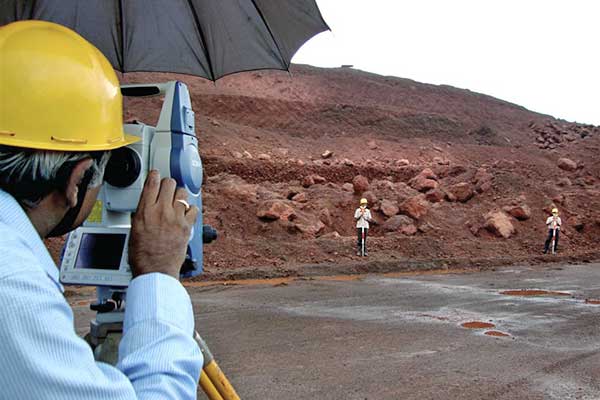
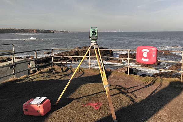
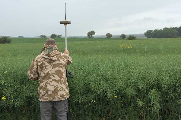
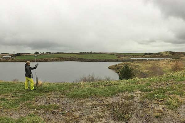
Land Surveys
Drainage surveys
A drainage survey produces 2D CAD plans of drainage layouts.
If you need to attain ISO 14001, compute drainage capacity, align a deep culvert or re-design your existing site drainage system we will provide full working drawings to suit your CAD system, and if required back it up with a CCTV Drainage Integrity Survey. Physical access to a manhole with clear pipework is required.
The survey is performed by opening manhole covers, introducing a transmitter into the pipe and then tracing it from above ground using Radiodetection.
Clients are provided with a drawing detailing the route of the pipes, size, and the manhole cover and invert levels. Normally, results are overlaid onto an existing topographical survey although if this is not available, produced in full or outline topo or alternatively just overlay the results onto OS data.
The cost will depend entirely on how many manhole covers are within the area, how many pipes go out from each cover, how difficult the covers are to raise and how clean the pipes are as obstructions/silt could slow down the transmitters progress.